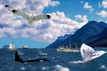
The ecozone takes in all of Canada's fjord-dominated west coast and runs out to sea over a narrow continental shelf and slope. The shelf lies beneath the entire ecozone and is the leading edge of the great North American tectonic plate. As the plate drifts almost imperceptibly westward, the shelf is folding under the Pacific tectonic plate, which forms the bottom of much of the Pacific Ocean. Massive geological forces at work where the shelves meet cause undersea volcanoes and the famous west coast earthquakes.
Unlike the Arctic and Atlantic ecozones, sea ice is generally absent from the Pacific Marine Ecozone. The land barrier imposed by the Alaskan peninsula prevents much of the cold arctic currents from flowing down the west coast, so there is little oceanic water exchanged between the Arctic and Pacific ecozones. From south to north within Canada's borders, ocean surface temperatures in the ecozone at any one time vary only about 3°C, while seasonal ocean temperatures vary within a narrow range of about 7°C, a striking contrast to the 20°C variation of the east coast.
Based on its stable temperatures, the Pacific Marine Ecozone may be considered a transition zone between the polar seas of the Arctic and the temperate waters of the mid-latitude Pacific Ocean. Ice occurs only seasonally, and then only outside Canada's territorial waters at the northern boundary of the Bering Sea, the Sea of Okhotsk, and in bays and inlets where there are considerable flows of fresh water off the land.
