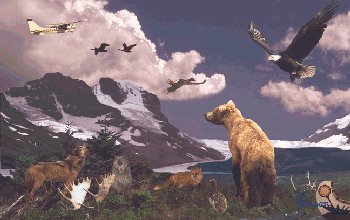
The Boreal Cordillera Ecozone encompasses the St. Elias, Skeena, Cassiar, Ominica, and northern Rocky mountains as well as the Stikine, Yukon and Klondike plateaus.
The plateaus generally display the flat to rolling features of mature erosional surfaces and are dissected by streams. Ice age glaciers covered virtually all plateau areas and left widespread deposits of glacial debris. The mountain systems are lower and more subdued than the Coast and southeastern mountains. Deep glacial deposits are widespread in broad valleys, while the mountains -- except on the higher ridges and peaks -- commonly have a thin cover of colluvial debris.
The climate is an interior subalpine type, and the mean annual temperature is -0.7 to -0.3°C. Average temperatures top 10°C for only one month a year, although up to three months is possible at medium elevations. Mean annual precipitation is 460 to 700 mm with 35 to 60% falling as snow. Winters are long and cold, summers brief and cool. Moist Pacific air frequently causes sudden, often violent storms during summer. A more stable air mass usually prevails in winter, but cold spells can be broken by warm chinook winds.
Above the treeline, at elevations higher than 1 000 to 1 400 metres, alpine weather is the norm. This area is cold, windy and snowy and characterized by low temperatures during the growing season and a short frost-free period. Mean annual temperature ranges from -4 to 0° C. Frost can occur at any time and the average temperature remains below freezing for seven to 11 months each year. Mean annual precipitation is 700 to 3 000 mm, 70 to 80% of which falls as snow. Many high-elevation areas such as the St. Elias Mountains have perpetual ice and snow cover.
