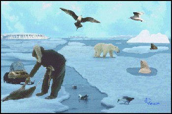
From Greenland in the east to Alaska in the west, the Arctic Archipelago Ecozone has lured mariners for centuries. The hope that a northerly route could be found to the Orient attracted many of the earliest explorers to the Arctic. History has recorded the hardships and, indeed, the tragedies which often happen to these ventures. Local geographical names like Franklin District, Victoria Island, Sverdrup Islands, Norwegian Bay, and Prince Albert Sound are tributes to the varied people and nations that have explored the region.
This is perhaps one of the most unusual marine ecozones. Vast and open seascapes are rare. Instead, the marine area is comprised of a patchwork of interconnecting bays, fjords, channels, straits, sounds and gulfs. This lattice marine water bodies surround hundreds of islands such as the Queen Elizabeth chain of islands, Baffin Island, Melville Island, Devon Island and Banks Island. The islands form large parts of two arctic terrestrial ecozones -- the Arctic Cordillera and the Northern Arctic. The marine and terrestrial ecozones are inextricably interrelated. Species like Polar Bear and Arctic Terns, for example, roam between the land and the sea.
This setting is relatively unique on a circumpolar basis. The general boundary of the ecozone follows the northern continental shelf from Mackenzie Bay in the Beaufort Sea north to the Lincoln Sea between Ellesmere Island and Greenland. It then curves south through Nares Strait, taking in all of Baffin Island, save for sections of the east coast considered part of the Northwest Atlantic Ecozone. The ecozone encompasses all waters to the west of Baffin Island, including the Gulf of Boothia and Foxe Basin, and then extends south into one of Canada's most prominent geographic features, Hudson Bay.
